How to Split a Lot to Build Two Houses: Planning and Permit Guide
Start planning how to split a lot to build two houses with practical checks for zoning, surveys, access, utilities, approvals, and construction sequencing.
|
November 2, 2026

In this article:
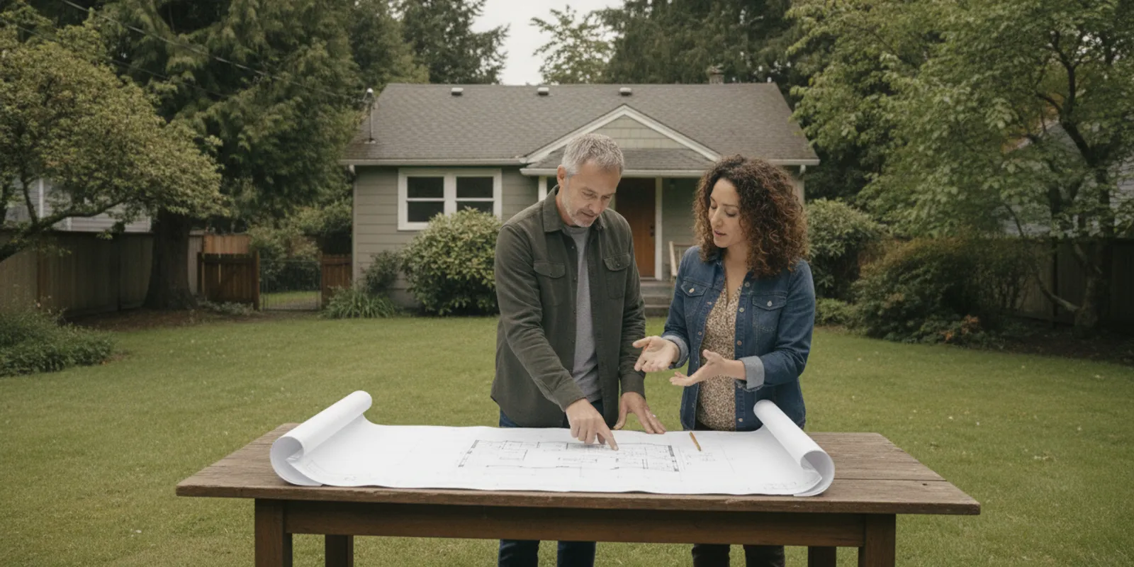
Learning how to split a lot to build two houses starts with one important distinction: a large property is not automatically eligible to become two legal, buildable parcels. Feasibility depends on local land-use rules, the actual shape and constraints of the site, legal access, utilities, and the approval process. Start by testing those conditions before paying for detailed plans or assuming a particular result.
How to split a lot to build two houses: what determines feasibility?
Start by stating what you want to create
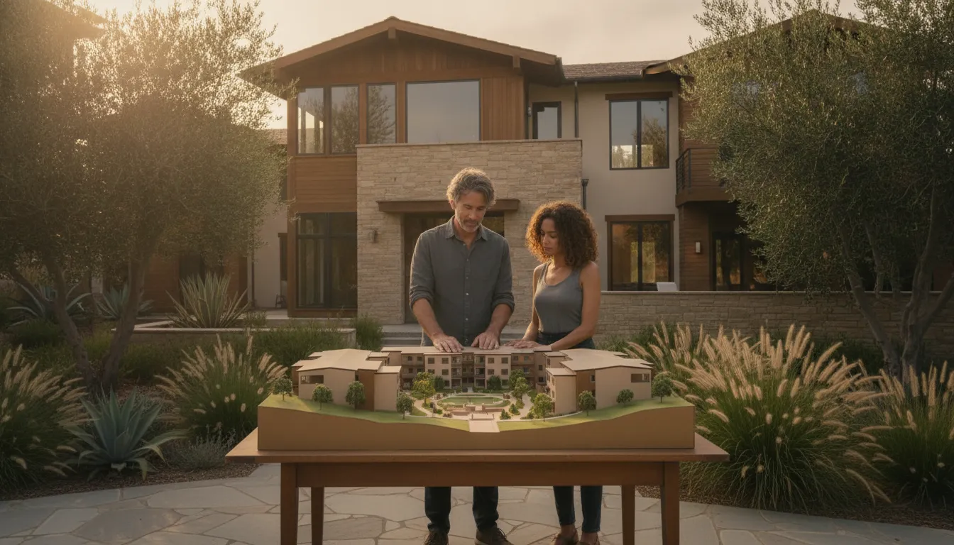
Before researching rules, write down the outcome you need. Do you want two independently owned parcels, each with a house? Are you considering two homes that remain on one parcel? Or would one primary home and an accessory dwelling unit meet the household’s needs? Those are different project concepts, and the applicable review route may differ. Tell planning staff plainly that you are exploring a legal parcel division to build two houses, then ask what alternatives might be relevant if that route is not feasible.
This distinction matters beyond the drawings. Separate parcels can affect ownership, financing, future sale, maintenance responsibilities, and how utilities or access are documented. Two homes on one lot may have different arrangements. An ADU is a separate housing type, not the same thing as creating a second legal parcel. Realm Living’s California housing agency resource hub is a useful starting point for statewide housing-program context; it does not decide whether a particular lot can be subdivided. For a comparison of a different housing pathway, see SB9 versus ADU planning considerations, while confirming parcel-specific rules with the local jurisdiction.
Check the legal standards, not just the total area
The governing city or county determines the applicable land-use rules. They may address minimum lot area, width, frontage, density, setbacks, access, lot coverage, parking, or the kind of subdivision process available. Requirements can also vary with zoning, overlays, location, prior approvals, and whether the property is inside a city or in an unincorporated area. A parcel may appear large enough in a map viewer yet fail a width or access standard when divided.
Ask the planning department which rules apply to both resulting lots, not only to the current parcel. Request the current ordinance sections, application checklist, and map standards, and ask how staff handles preliminary questions. A helpful early answer can identify issues to investigate, but it is not a formal approval unless the agency says it is. State law or a process another homeowner used should not be treated as a guarantee for your property.
Identify constraints before sketching a boundary
Gather the address, assessor’s parcel number, deed or title information, existing surveys, and building or permit records. Make a first-pass list of easements, recorded restrictions, access rights, existing structures, drainage routes, slopes, trees, and utility locations. Each can limit where a new line or building might go. Use a rough sketch to pose questions, not to claim that the lot is buildable.
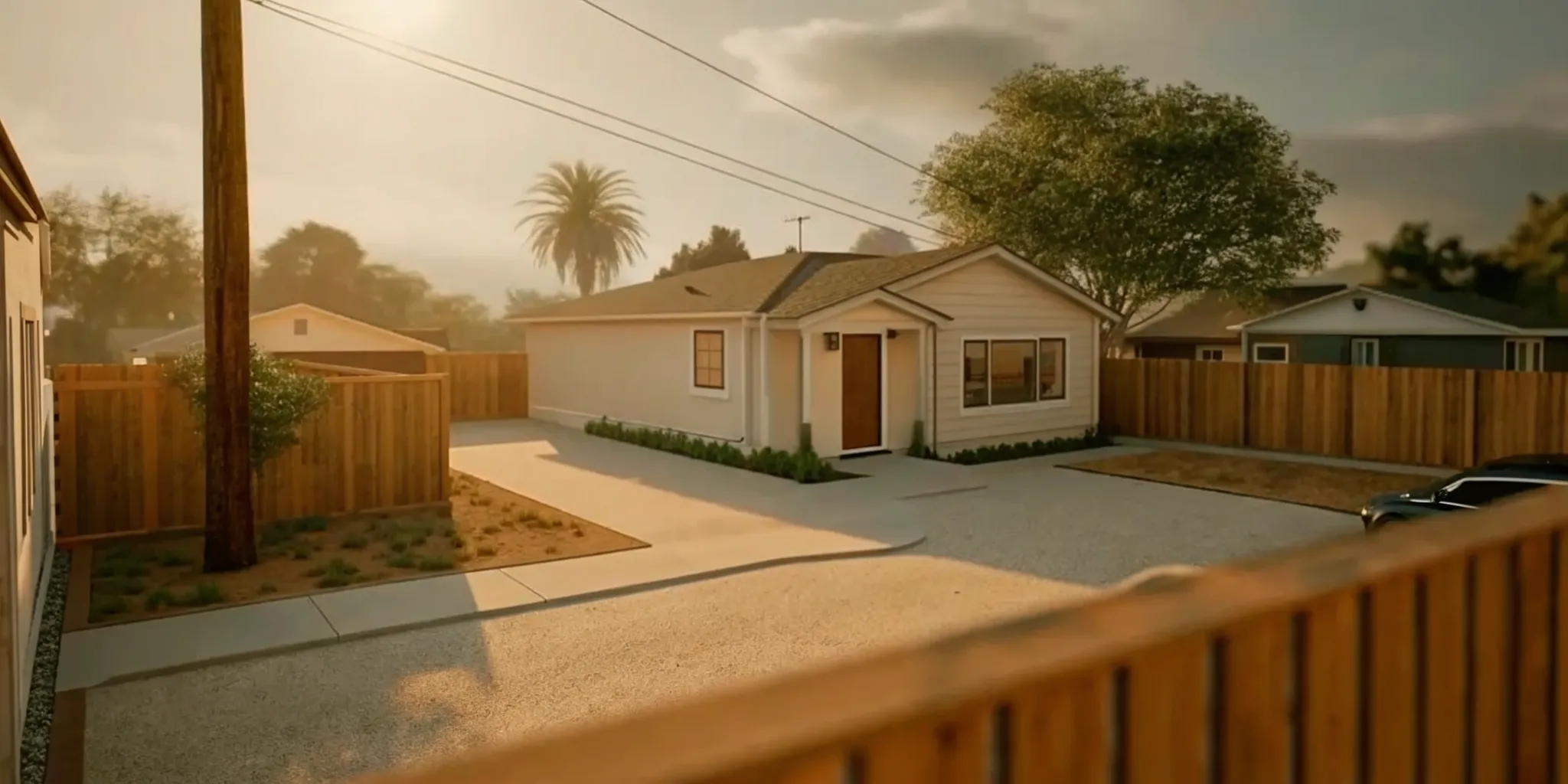
For example, a deep lot might seem suitable for a front and rear parcel. But the rear home could need a driveway across the front lot, a recorded access easement, an approved fire route, and separate utility paths. If the easement corridor leaves little room for a house or drainage, the promising-looking area calculation may not translate into a workable plan.
- What zoning designation and overlays apply?
- What minimum area, width, frontage, and access rules apply to each proposed parcel?
- Can a buildable area on each lot meet setbacks, coverage, height, and parking standards?
- What map, engineering, public notice, environmental, or infrastructure reviews may be required?
- Are recorded easements, conditions, or restrictions likely to affect the concept?
What property information should you gather first?
Order the right survey for the question at hand
A tax map or online parcel viewer can help you orient yourself, but it is not a substitute for a professional boundary survey. A licensed land surveyor can explain what survey scope is appropriate for evaluating a possible division and what records or field work are needed. Ask whether the work will locate property lines, buildings, fences, visible improvements, elevation information, or other features relevant to the concept. The requested scope should match the next decision you need to make.
Survey information can prevent a surprisingly common planning error: treating a fence, hedge, or retaining wall as the legal property line. Those features may not align with the recorded boundary. A measured base also helps the designer test widths and setbacks rather than relying on a rough drawing. Before ordering, ask the planning department whether it has a preferred map format or minimum survey information for early review, so you do not pay for a deliverable that misses the immediate need.
Review title records and existing approvals
Ask a title professional or qualified real-estate attorney to help identify recorded easements, covenants, access rights, and other restrictions that might affect a division or construction. A driveway visible on site does not, by itself, establish the legal right to use it. The reverse can also be true: a recorded easement might burden a part of the property even when there is little visible evidence of it.
Collect permits and approved plans for existing homes, additions, driveways, retaining walls, wells, or septic systems. Older work may have conditions that affect future development, or the records may not match current site conditions. Keep uncertain items on a question list. Do not assume that a past approval covers a new parcel layout or a second house.
Make one constraints map and keep it current
Combine the survey base, planning standards, title findings, utility information, and site observations in one working document. Mark possible building areas, access paths, slopes, drainage, trees, service connections, and existing structures. Label information as verified, estimated, or still unknown. This map is not an engineering or architectural plan. Its job is to show where assumptions conflict and what needs professional review.
When a new fact arrives, update the map and note the source and date. If one consultant is working from an older boundary sketch while another assumes a different driveway location, each may offer technically sound advice that cannot be combined. A shared, dated base plan reduces that avoidable confusion.
How can you test zoning, access, and utilities?
Test each proposed parcel independently
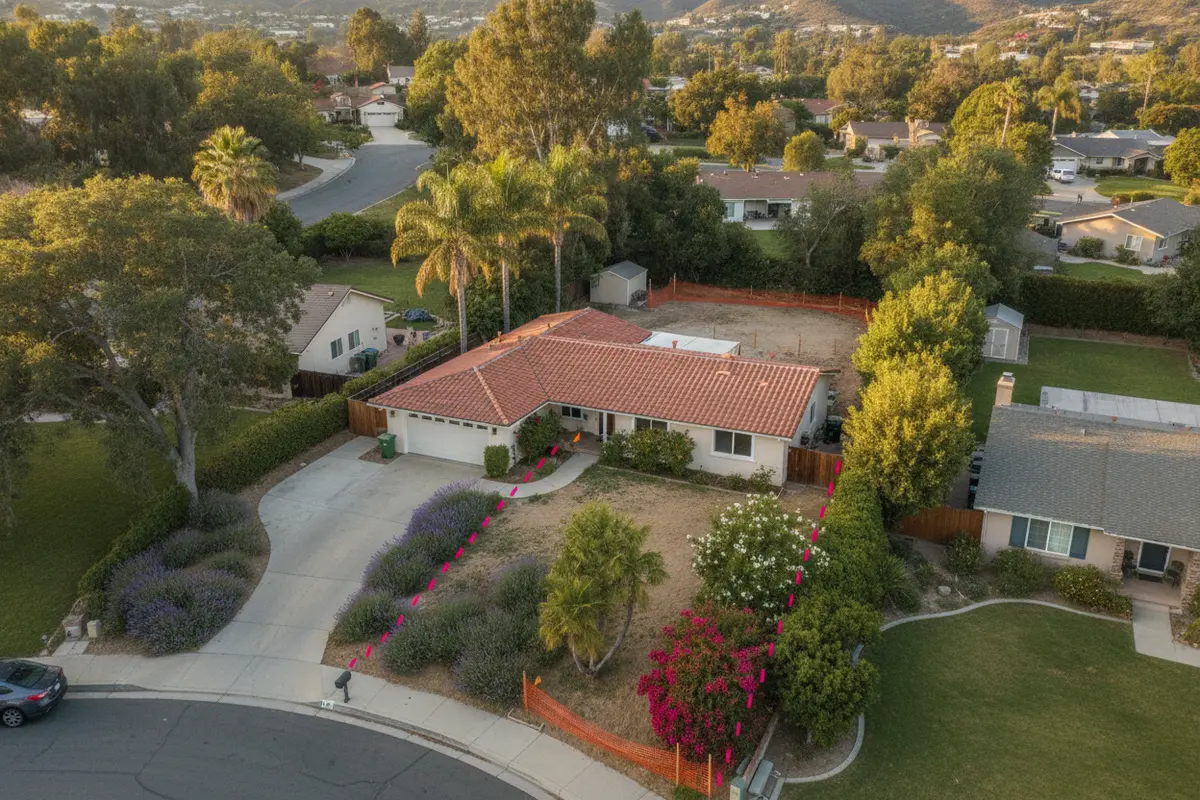
Do not evaluate only whether both houses fit within the combined property. For each future parcel, check its area, width, frontage or legally permitted access, building envelope, setbacks, parking expectations, and any applicable open-space or lot-coverage standards. Ask local staff which measurements control and how irregular shapes are evaluated. A parcel that satisfies a minimum area figure may still leave no practical place for a compliant house, parking, or services.
Ask the designer to show the likely building envelope on each lot, not simply a pair of house rectangles. Consider windows facing neighbors, usable outdoor space, privacy, daylight, refuse storage, and a route from each entrance to the street. Test more than one possible boundary: shifting the line a few feet can improve one building area while reducing the other, so the design and division should be considered together.
Plan legal and physical access
Walk through how each household, guest, delivery driver, and emergency responder would reach each home. If both lots have street frontage, confirm that proposed driveways and curb access are allowed. If one home sits behind the other, ask about a shared driveway, access easement, width, turning space, grade, surface, maintenance, and emergency access. Planning, public works, and fire officials may have separate requirements. Do not assume one department’s informal comment resolves another department’s review.
A shared drive also creates a long-term ownership question. Who repairs the surface, clears obstructions, maintains drainage, and pays for improvements? The project team can flag these issues for legal documentation, but the arrangement should be reviewed by qualified professionals and accepted by the jurisdiction where required. Show the access route on early concept plans so it can be evaluated alongside house placement, not added as an afterthought.
Map utility routes and confirm service assumptions
Locate existing water, sewer, storm drainage, electricity, and communications service as far as records and providers allow. Contact each relevant provider or department with a clear question: can the proposed development be served, from which point, under what conditions, and what information is needed to confirm? A line near the property does not prove that capacity is available or that a connection will be simple. Ask whether separate meters, extensions, upgrades, inspections, or recorded utility easements may be needed.
Trace the likely routes from service points to each future house. Those routes should not unintentionally cross a building area, conflict with access, or depend on rights that have not been established. Ask how construction of one home could affect service to the other. Stormwater is part of the layout too: new roofs, paving, and grading can change where water flows, so seek direction on drainage review rather than assuming runoff will be harmless.
If the property uses a private well or septic system, contact the responsible health or environmental authority early. Ask what capacity, separation, testing, or review applies to the proposed division. Existing systems may serve only the current approved use. Do not base a design on the assumption that a current well, septic field, or utility connection can simply be split between new parcels.
Compare early feasibility risks in one place
| Area to test | Questions to answer | Who may clarify | Early warning sign |
|---|---|---|---|
| Land-use rules | What minimum standards and division process apply? | City or county planning department | One proposed lot may not meet a required standard |
| Boundary and title | Where are the legal lines and recorded rights? | Licensed surveyor; title professional or attorney | Access or a building area conflicts with a recorded right |
| Access | Can both homes be reached lawfully and safely? | Planning, public works, fire officials | One home depends on an unconfirmed narrow route |
| Utilities and drainage | Are capacity, connection paths, and drainage workable? | Utility providers and relevant departments | Upgrades or easements may be needed but are unconfirmed |
| Construction | Can work be sequenced without blocking access or service? | Architect, civil engineer, qualified contractor | Building one home could disrupt essential access or utilities |
What approvals and professional reviews may be needed?
Get the jurisdiction’s current process in writing
Once you have a basic picture of the site, ask the city or county for current application instructions. Depending on the location and proposal, review could involve a preliminary or tentative map, a parcel map, a final map, planning review, public notice, engineering review, or other approvals. Names, eligibility criteria, sequencing, and submittal details vary. The local authority must confirm which route applies to your property.
Request the application checklist, map format, review sequence, fees, and any technical studies that may be expected. Ask whether a pre-application meeting is available, who should attend, whether staff can review a concept plan, and what the meeting can determine. If you receive feedback, record what was reviewed, what assumptions staff used, and what remains unresolved. Do not mistake a preliminary conversation for formal permission.
Coordinate the right specialists around one concept
Depending on site conditions, the team could include a land surveyor, architect, civil engineer, land-use planner, geotechnical professional, utility consultant, and real-estate attorney. Not every property needs every specialist at the same time. Ask each person to define the work, deliverables, assumptions, exclusions, and decisions that depend on another review. That makes it easier to commission work in a sensible order rather than asking for expensive detail before the basic route is known.
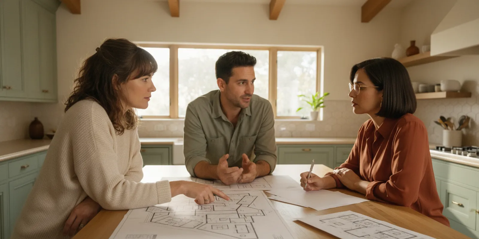
Give each consultant the same current base information and a short list of project questions. For example: “Can this concept meet the parcel standards?” is more useful than “Can two houses fit?” Include known access and utility assumptions so a professional can identify what must be verified. For broader project coordination, review how renovation planning and contractor coordination works, and ask your own team how subdivision and building approvals will be sequenced for your site.
Keep a decisions, assumptions, and approvals log
Use a simple table or shared document with columns for the question, source, person or department contacted, date, answer, status, and next action. Mark answers as informal, written preliminary guidance, or formal approval. Add the plan version that was reviewed. This matters when a boundary, building location, or utility route changes: a previous response may have depended on a design that is no longer current.
Also track unresolved items and who owns them. If a water provider must confirm capacity, name the person responsible for requesting confirmation and the document needed. If planning staff says access details need fire review, record the referral and submit a consistent drawing. Small administrative habits make it less likely that a critical assumption quietly turns into a design commitment.
How should you plan the two-home design and construction?
Design the site as a whole, then test each home
Two structures can fit on paper and still create a difficult property. Ask the designer to show each home in relation to proposed boundaries, access, neighboring homes, utilities, parking, drainage, and outdoor space. Think through daily use: where will people enter, store bins, park, bring in groceries, and maintain equipment? How will residents use outdoor areas without looking directly into one another’s windows? These questions help distinguish a workable arrangement from a drawing that merely meets a dimensional test.
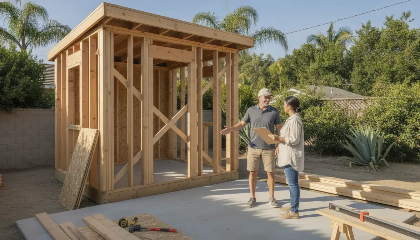
Construction access also deserves early attention. Identify where equipment and materials could arrive, where workers can stage, and whether a route must remain open to an occupied home. If the existing house remains in use during construction, discuss temporary protection, dust, noise, water or power interruptions, and safe separation of work areas. If both homes are new, consider how sequencing one structure before the other affects grading, utility installation, and access.
Use design options to expose trade-offs
Ask the designer to compare at least two conceptual boundary or building arrangements when the site allows it. One option may give both lots direct street access but produce smaller building areas. Another may preserve larger house footprints but depend on shared access. Compare each against the same criteria: local standards, privacy, utility path, grading, parking, outdoor use, construction logistics, and long-term maintenance. Do not choose based on a single attractive rendering.
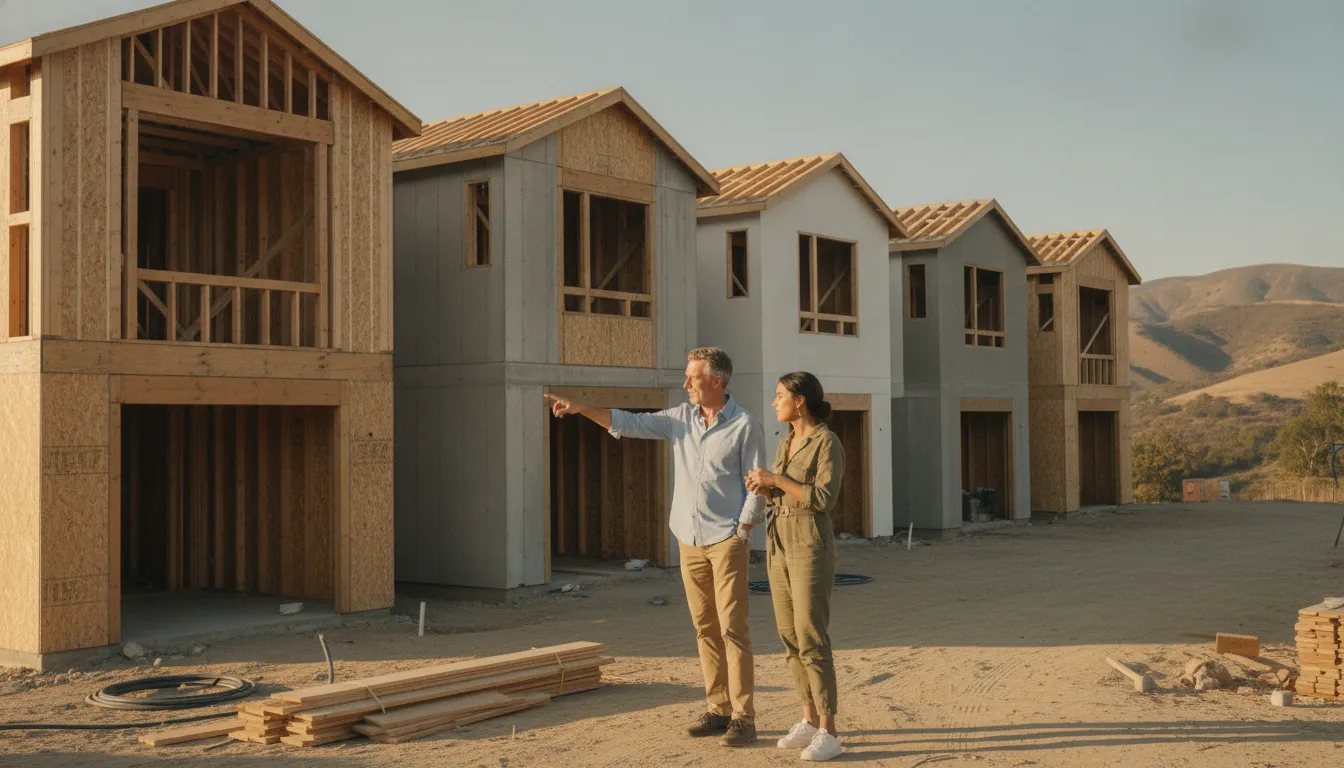
For example, a front-and-rear arrangement might preserve the existing home and place a second home toward the back. The rear lot’s access corridor could take space from the front yard and complicate utility routing. A side-by-side concept might simplify access but fail a minimum-width test. These are not predictions about your property; they illustrate why survey dimensions and local rules need to be tested together before a preferred layout is selected.
Build a sequence with decision gates
A practical sequence often begins with records and planning questions, then moves to survey and site investigation, concept design, formal application, technical revisions, final approvals, utility coordination, and construction. The actual sequence and timing depend on the jurisdiction and project. Ask the professionals involved to identify dependencies rather than relying on a generic calendar.
Set decision gates before larger commitments. One gate might be: proceed to detailed design only after the local process appears viable and major title, access, and utility questions have owners and paths to resolution. Another might be: obtain comparable construction proposals only when the plans and approval conditions define a sufficiently consistent scope. A gate is not a guarantee; it is a deliberate point to review new information and decide whether to continue, revise, or pause.
Compare construction proposals on matching assumptions
If the project is built in phases or involves more than one contractor, define who handles site protection, temporary services, access, inspections, staging, cleanup, and coordination between trades. Give each bidder the same scope and current plans. Ask what is excluded, which allowances are provisional, what owner decisions remain, and what conditions could change the proposal. A low initial number is not a useful comparison if it omits work included in another bid.
Track land division and construction costs as separate categories while noting where they interact. Surveying, engineering, utility work, map preparation, and site improvements may not appear in a house-construction proposal. Ask qualified professionals for project-specific estimates and clarify assumptions; do not infer a total cost from another property. Realm Living’s guides to what a construction estimate includes and how to compare bid details can help you frame scope questions, though neither replaces subdivision review.
What common lot-split planning mistakes can you avoid?
Assuming the lot is eligible because it is large
Total area is only one possible requirement. Width, frontage, access, setbacks, density, easements, environmental constraints, and service availability may also shape feasibility. Ask for the actual standards and apply them to a measured site plan. If one requirement appears difficult, find out whether the jurisdiction provides a lawful alternative or whether the concept needs to change; do not assume an exception will be granted.
Confusing two homes with two separate parcels
Two residences on one parcel and two independently recorded parcels are different outcomes. They can have different approval paths, ownership implications, and long-term arrangements. Be specific when you contact officials and professionals. If your primary goal is family housing or added space rather than separate ownership, ask whether another housing form might address that goal. Keep the options distinct as you compare them.
Drawing houses before checking access and utility routes
A polished plan can require major revisions if a driveway cannot meet applicable standards or if service lines must cross a building area. Map these elements early and ask the relevant departments or providers to identify what must be verified. Treat unconfirmed capacity, verbal access assumptions, and approximate property lines as open questions, not settled facts.
Relying on an informal answer as final approval
Preliminary feedback helps you decide what to investigate, but it may be limited to the material presented or subject to later technical review. Ask whether the answer is advisory, written, binding, or conditional, and what formal submittal is required for a decision. Keep copies of the guidance and the exact drawing version that staff reviewed.
Ordering detailed work without a clear next decision
Professional work has value when it answers a defined question. Before authorizing a study or a full drawing set, ask: What decision will this deliverable support? What information must be available first? Who will review it? What additional work could follow? This does not mean delaying necessary expertise; it helps you choose the right scope and avoid paying for detail built on an untested assumption.
Talk through your project plan
Frequently Asked Questions
Can every large residential lot be split into two?
No. The applicable land-use rules, recorded restrictions, access, utilities, site conditions, and review route all affect feasibility. Ask the city or county to identify the standards for the specific parcel, then test them against current survey and title information.
Is splitting a lot the same as building an ADU?
No. An ADU is an accessory dwelling unit, while a lot split seeks to create separate legal parcels. The rules and ownership arrangements differ. Explain the outcome you want and ask local officials which options may apply. Realm Living’s ADU zoning guide covers a distinct housing pathway, not approval for a parcel division.
Should I hire a surveyor before contacting planning staff?
You can begin by gathering parcel records and asking planning staff which standards and process apply. A current survey becomes important when testing actual dimensions, boundaries, and site constraints. Ask the agency and design professionals what survey scope they need before ordering; the right level of detail depends on the next decision.
When should I request construction pricing?
Early conversations can surface construction questions, but meaningful comparisons require a reasonably defined scope and clear assumptions. First investigate the legal path, access, utilities, site conditions, and design basis. Then request proposals that address the same work and clearly identify exclusions, allowances, and owner responsibilities.
Can state guidance confirm whether my specific parcel can be divided?
State resources can provide context about housing policy and programs, but they do not replace local zoning, subdivision review, title review, or a property-specific decision. Confirm the rules and formal process with the city or county that has jurisdiction over the parcel.
Get started with your renovation plan
Start your lot-split planning
Before committing to a two-home design, verify the parcel’s land-use path, boundaries, access, and utility needs with the appropriate local authorities and qualified professionals. A careful feasibility phase gives you a clearer basis for deciding what to investigate, what to design, and whether to proceed.